Geospatial Analysis and Informatics
Integrated approaches to geo and hydro informatics combining AI with decades of field expertise.
Our Geospatial Analysis and Informatics solutions team is adept at all phases of analytical solutions not limited to spatial and environmental data collection, processing, transformation, synthesis and visualization.
We work readily in all aspects of conservation planning, spatial optimization, and statistical modeling. Our team has experience with a wide variety of GIS and remote sensing processes and products, from back-end systems to end-user application development. We specialize in integrated approaches to geo and hydro informatics, combining artificial intelligence techniques with deep insights from decades in the field.
Other Services
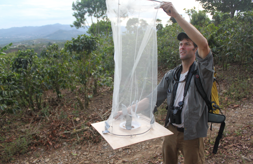
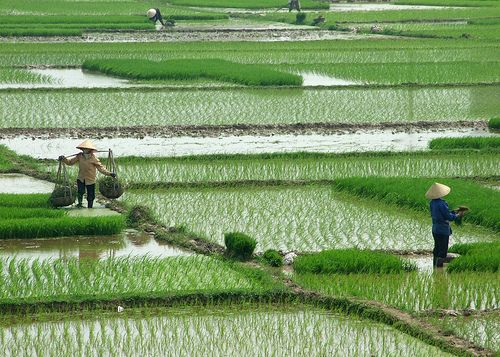
Understanding patterns of biodiversity to guide initiatives aimed at restoring natural habitats.
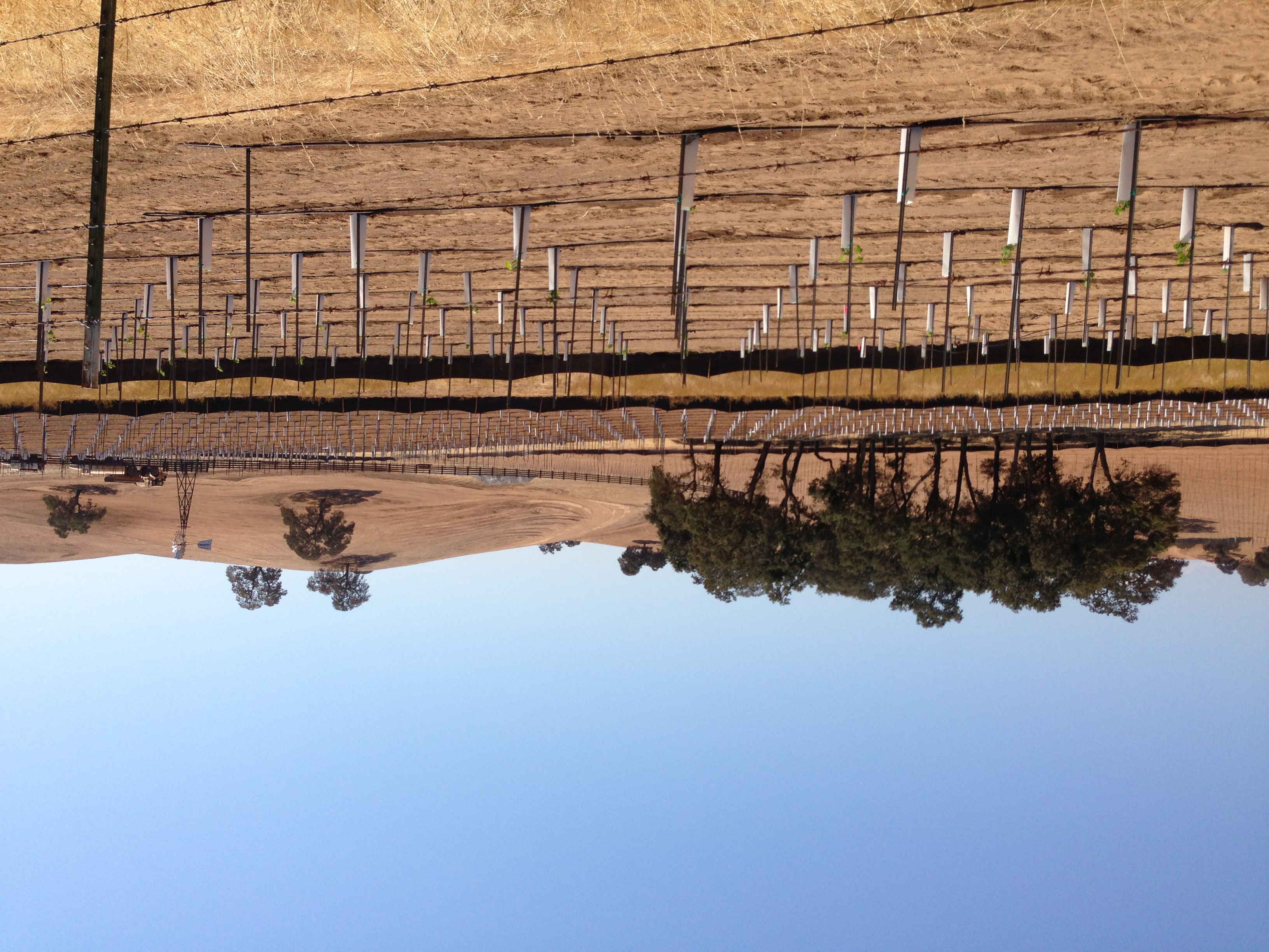
Understanding and managing land use to provide sustainable benefits from natural resources.
Creating sustainable commerce platforms for producers and consumers through proper stewardship.
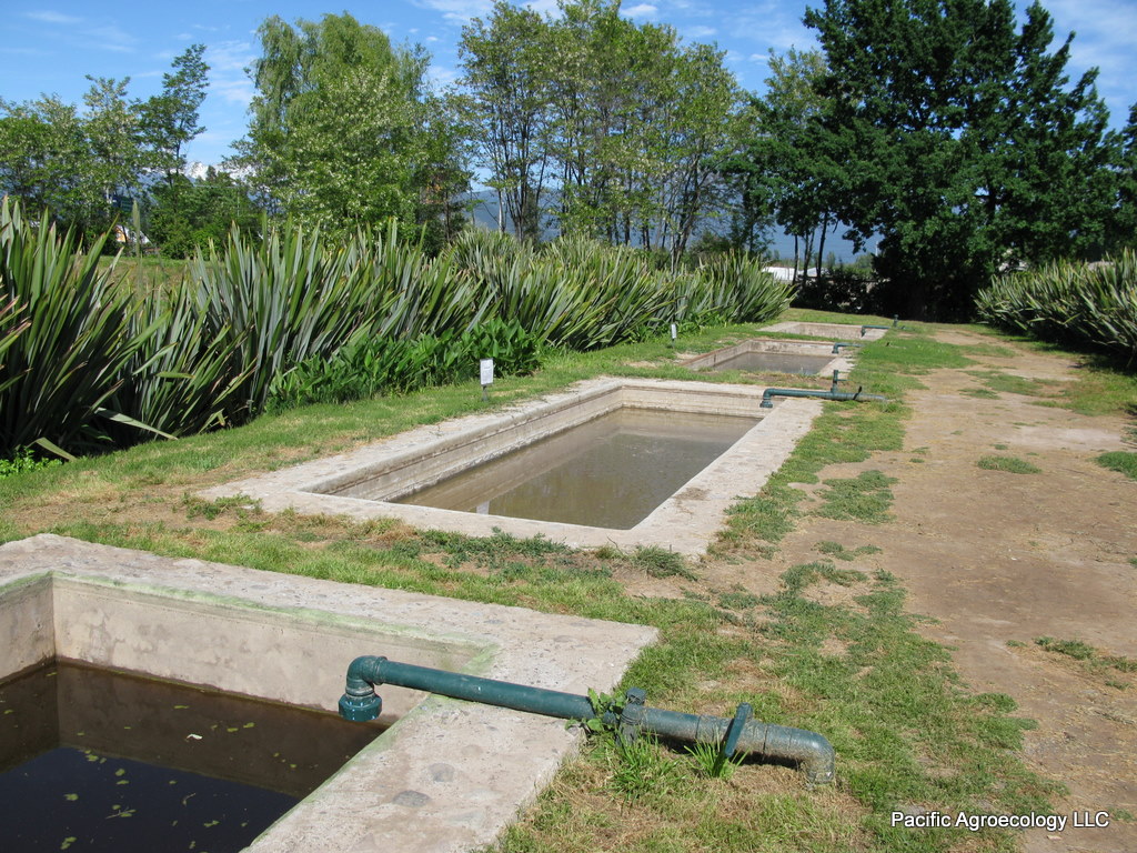
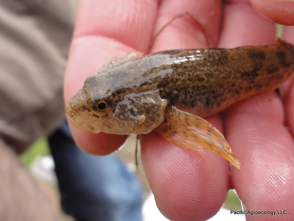
Adapting agricultural production systems to climate change and water scarcity challenges.
Need Geospatial Analysis Expertise?
Our team of scientists and consultants can help you achieve your sustainability and conservation goals.
Get in Touch